Back to Top
ontariobiodiversitycouncil.ca
Search:
Home
Indicators
Indicators By Target
Indicators By Theme
Index of Indicators
Reports
Ontario’s Ecozones
Featured Stories
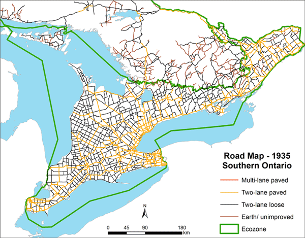
Animated-Road-Map
 Back to Top